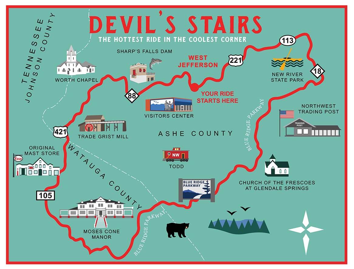
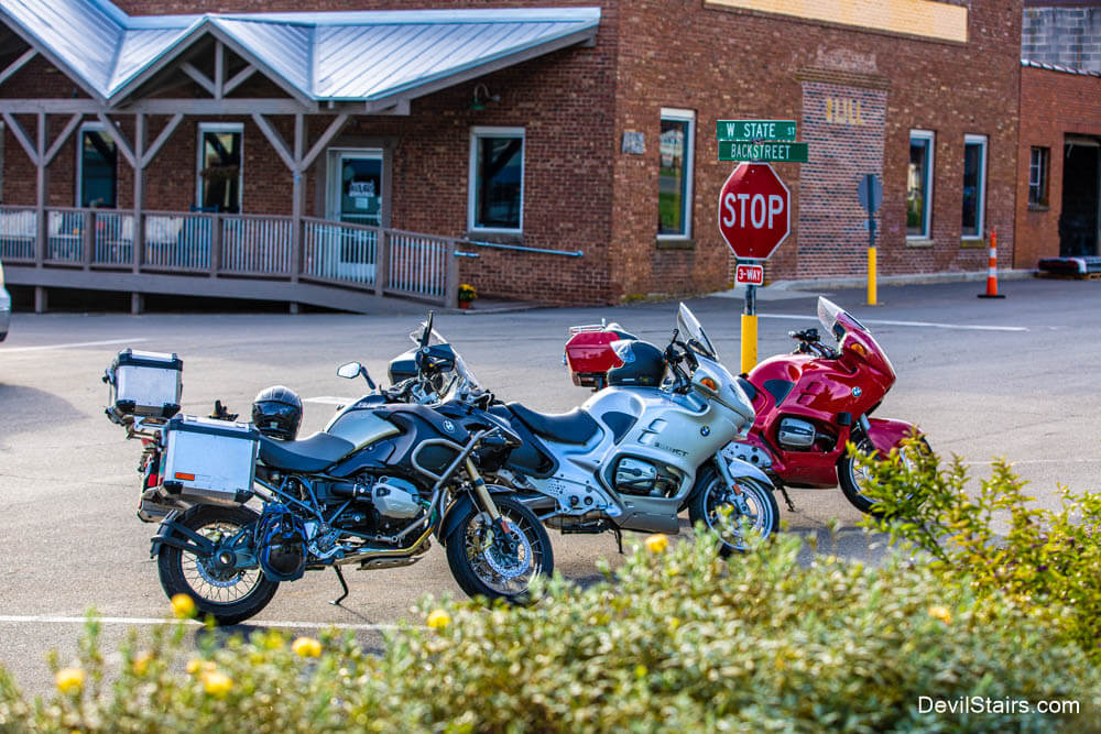
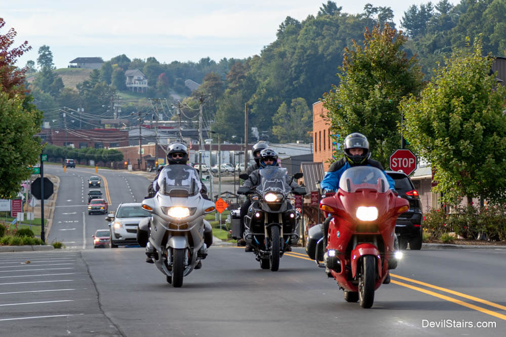
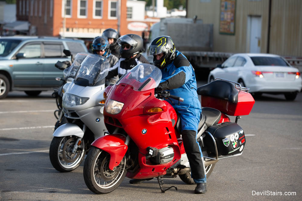
Are you looking for a motorcycle ride featuring great pavement, technical curves, light traffic, and beautiful mountain scenery? If so, check out The Devil's Stairs, located in Ashe County, the coolest corner of North Carolina!
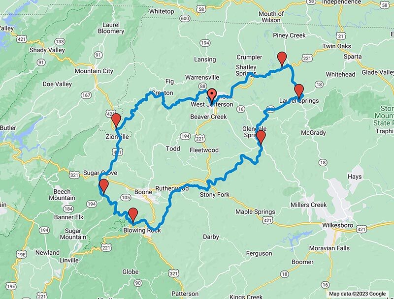
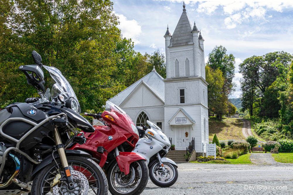
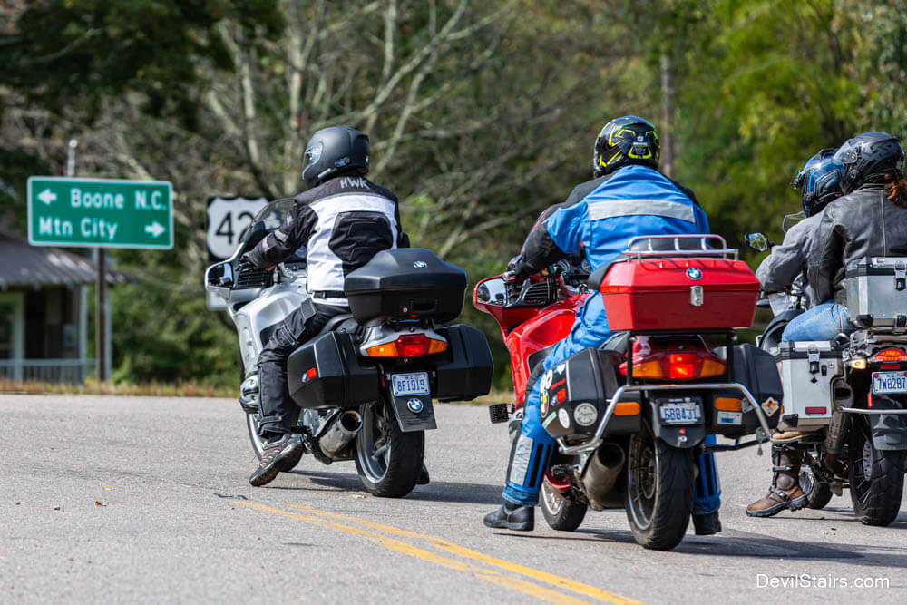
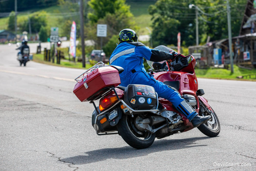
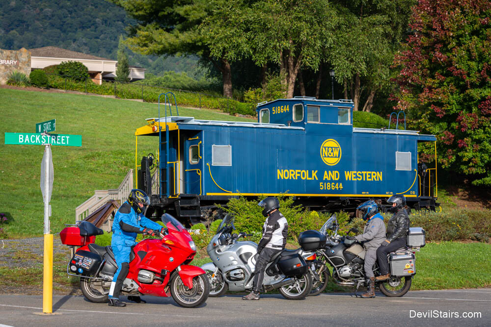
Based on a local folk tale, The Devil's Stairs is an approximately 118 mile ride starting and ending in West Jefferson, NC. Weaving through the beautiful Blue Ridge Mountains and along the ancient New River, The Devil's Stairs has something for everyone. Along the journey, you will see Worth Chapel, the Trade Tennessee Grist mill, and scenic views from the Blue Ridge Parkway.
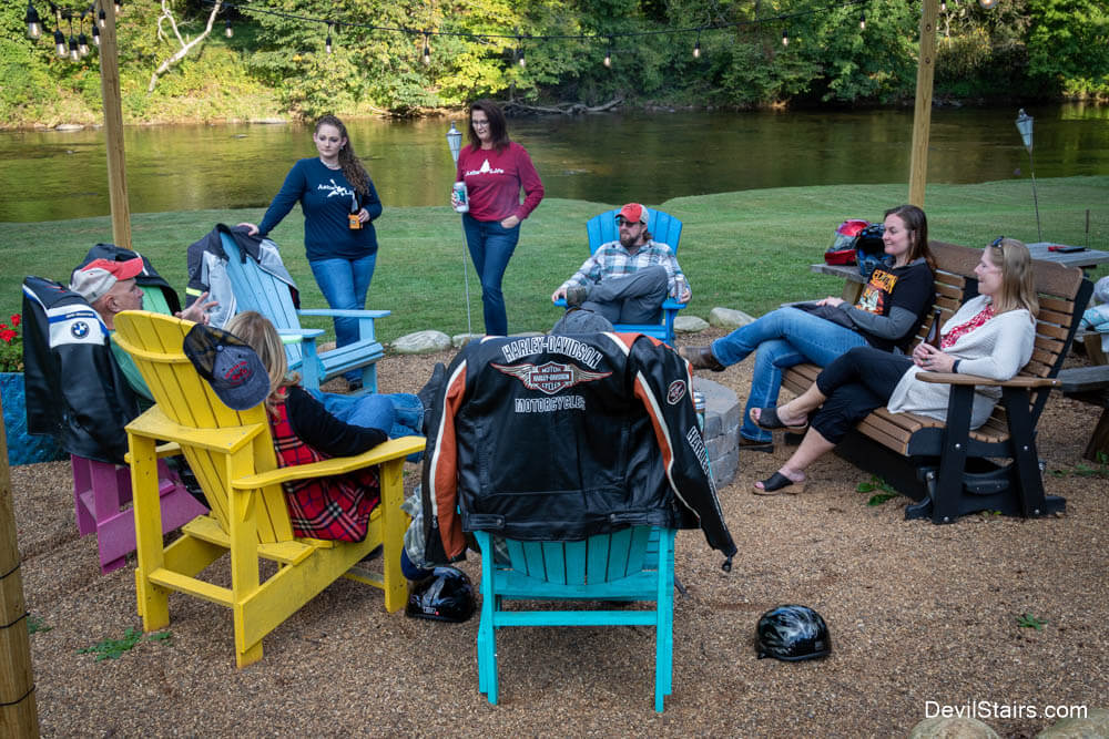
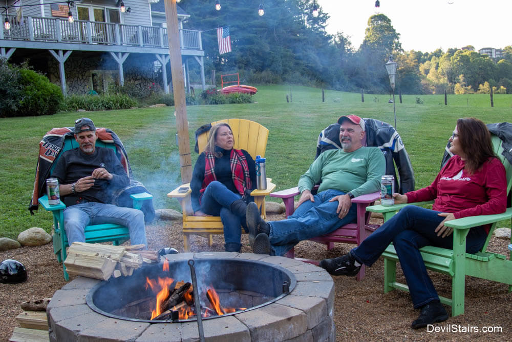
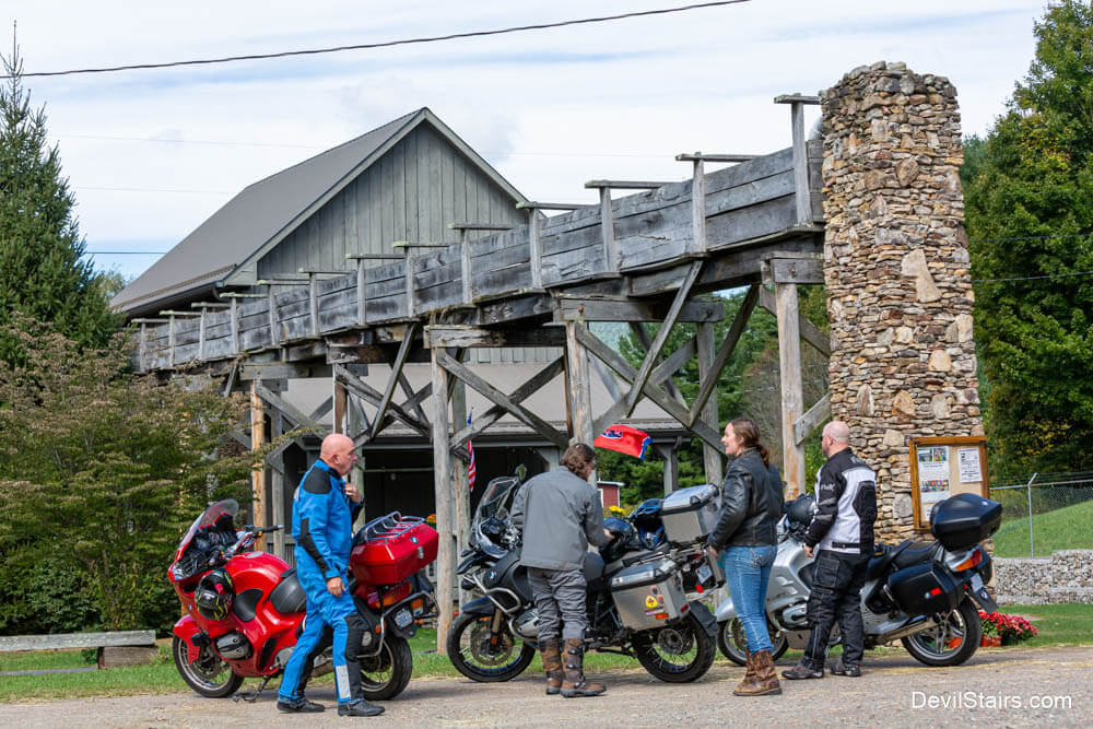
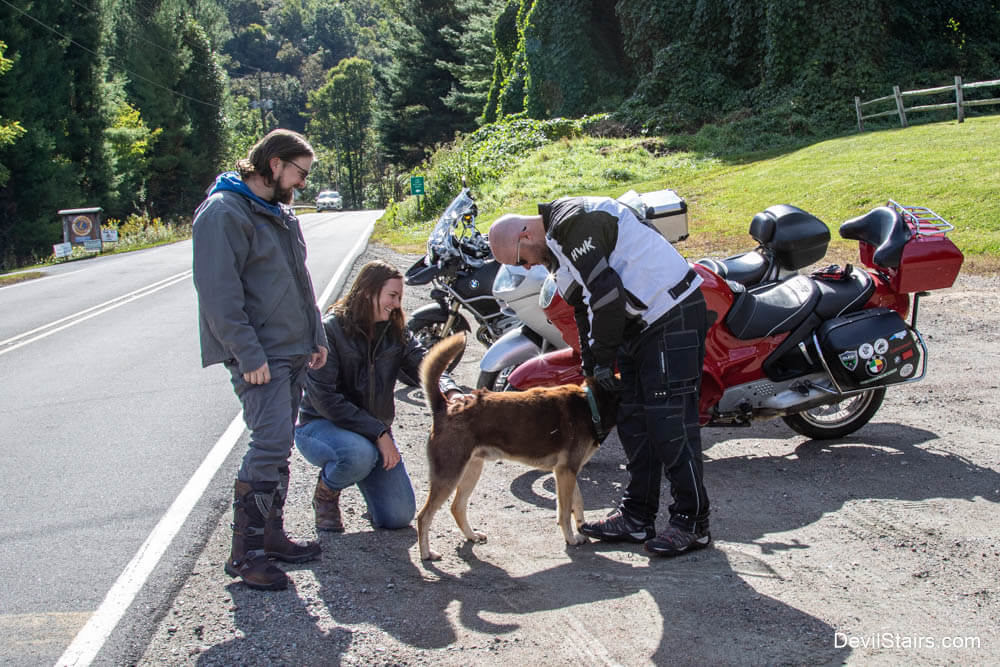
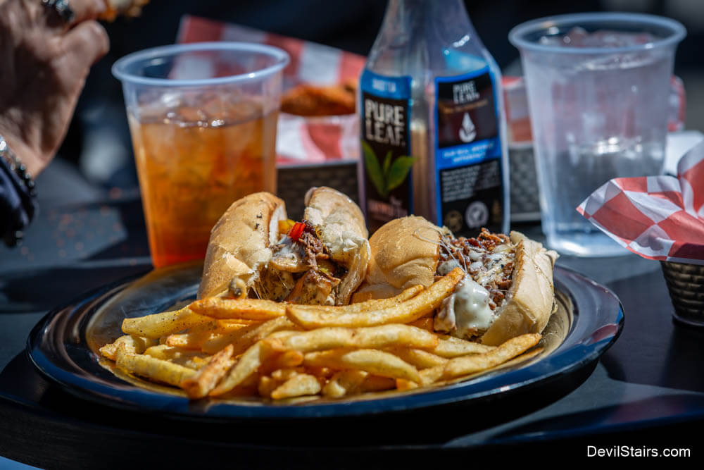
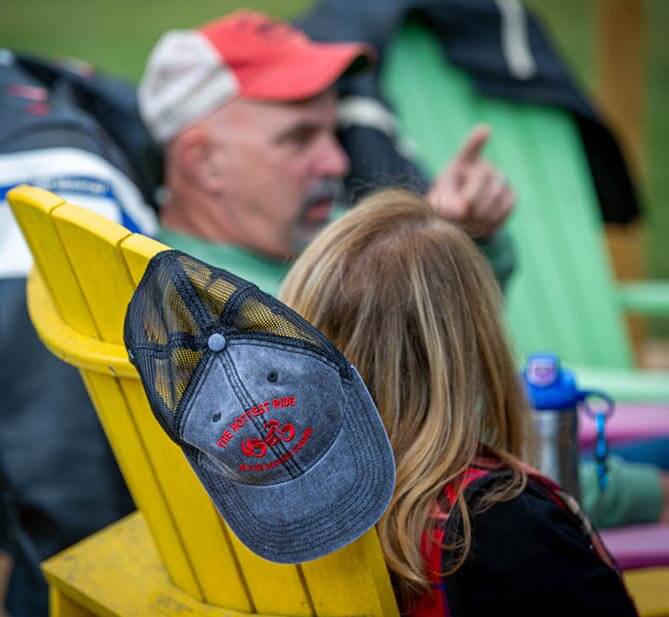
After a great day riding, enjoy a wonderful meal at one of the many local restaurants. Spend the night relaxing with friends and family at one of our many different lodging options.
When you rise, pick one of our alternative routes to ride and explore, including a local Post Office tour, or enjoy easy access to one of the many regional rides including The Snake and the Back of the Dragon.
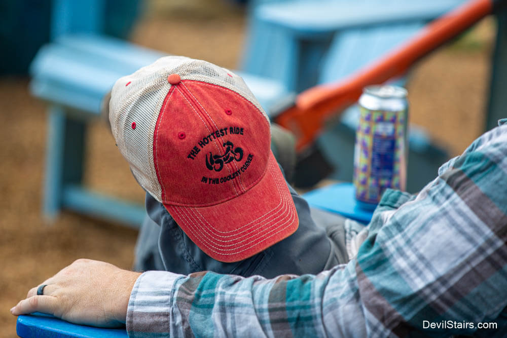
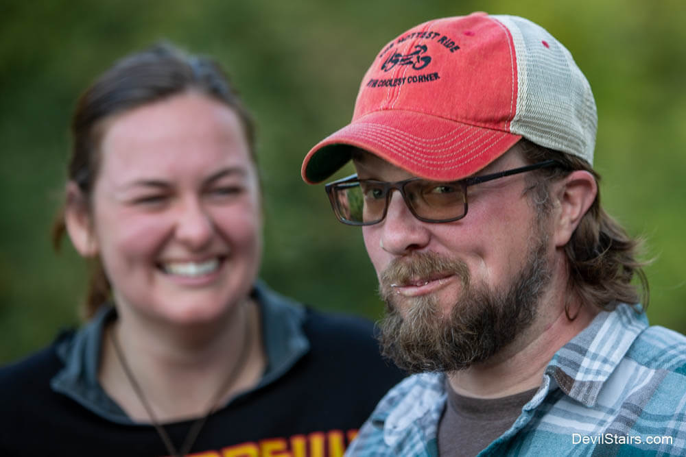
We hope that when visiting Ashe County, you will take the time to enjoy all that the North Carolina High Country has to offer, including our incredible motorcycle roads. After visiting, you will truly understand why the Devil's Stairs is the hottest ride in the Coolest Corner.
How did The Devil's Stairs get it's name? Learn about the myths and mysteries that earned the area it's fiendish moniker.
Learn MoreFor an overview of The Devil's Stairs, check out this short video highlighting some of the sights that you will see on the Hottest Ride in the Coolest Corner!
Ride DetailsHere you can download GPX files for all our rides. Besides our main ride, The Devil's Stairs, we offer a variety of other rides of various lengths, but all originating in Ashe County, NC.
** If you use Google Maps, we recommend turning off your wi-fi and mobile data so that Google Maps won't try to re-route you from one of our Devil's Stairs routes due to changing traffic conditions.
** ANNOUNCEMENT! The Google Map reflects a slight change to the route based on the temporary closing of a section of the Blue Ridge Parkway. The GPX file does NOT reflect this temporary change.
A wonderful ride around Ashe County which is approximately 118 miles long. This ride begins and ends in West Jefferson, NC. It follows the New River for a considerable distance. Fuel is available at the intersection of NC 88 and Big Laurel Road. The 88 Cafe, at that same location, has an excellent lunch. Traffic is usually very light all the way to US 421 at Trade. The section encompassing NC 105, Broadstone Road and Shull's Mill Road is technical in places but traffic is light. From Shull's Mill you enter onto the Blue Ridge Parkway North for an excellent 30 mile ride to NC 16. The Park Vista Restaurant at Benge Gap is a good stop for lunch. The is a gas station on NC 16 a short distance after you leave the Parkway. The section of NC 88 from Sheets Bridge at the New River to Laurel Springs is lightly traveled with lots of sweeping curves. NC 18 and NC 113 has lots of rolling hills through local farmland. The last leg is US 221 back to Jefferson where traffic is light and there are several tight corners. Give yourself about three hours to complete this one.
** ANNOUNCEMENT! The Google Map reflects a slight change to the route based on the temporary closing of a section of the Blue Ridge Parkway. The GPX file does NOT reflect this temporary change.
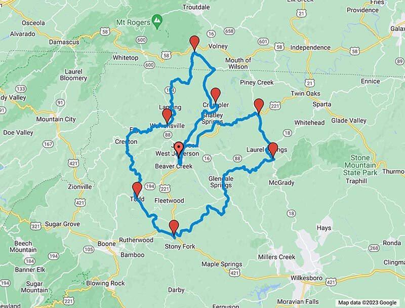
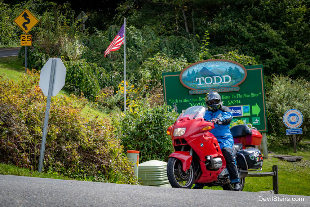
Our Post Office loop stays almost entirely in Ashe county but is 108 miles long. Because Ashe County was so rural and transportation options were limited, there were many post offices in the county, many of which no longer exist. This loop covers the still used rural post offices starting and ending in West Jefferson. There is fuel at the State Line Grocery just inside the Virginia state lane. State Line Grocery also has a good restaurant for lunch. Old Hwy 16 from Jefferson to the Virginia line is a technical road with light traffic. VA 743, going back into North Carolina, has no lines on the road in places but is of sufficient width. NC 194 back to Lansing is an excellent road with some technical sections and some excellent sweepers. Lansing is also a good place for lunch. Pie on the Mountain or The Old Orchard Creek General Store are excellent choices. The section through Todd has roads that also have no center lines but plenty of road width. The final section through Laurel Springs has several opportunities to view the river as you pass with lots of long sweepers.
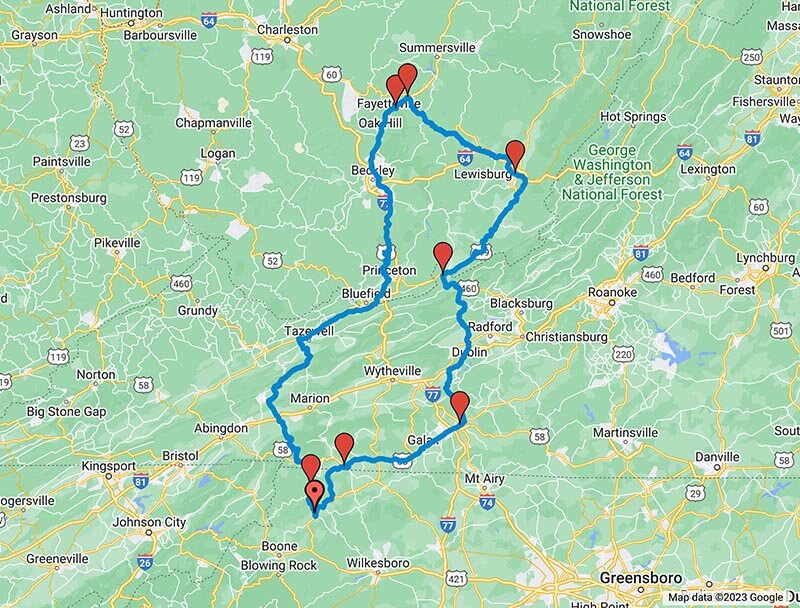
Who knew there were two Crumplers? This 260 mile ride offers an opportunity to pass over the "Back of the Dragon" in Virginia, but the final destination is the small community of Crumpler, WV. This Crumpler is actually a dead end but there is an excellent sign for your photo op. When you leave “downtown” Crumpler, stop at the Ashland Company Store for lunch. The cheeseburger is very good. Be mindful that this a popular place for ATV’s which are road legal in WV. On the return leg, you’ll ride US 52 through several small mining towns and will eventually end up riding parallel to I-77, including getting on the interstate to pass through the Big Walker Mountain tunnel. After the tunnel, you’ll climb the mountain and pass the Big Walker Mountain Lookout. It’s worth stopping and enjoying the view. The portion of US 21 back into NC is an easy ride with lots of long sweepers. The last leg is US 221, which crosses the New River near the Ashe County line, before returning you to West Jefferson.
Yes there are more than two Lansings in the United States, but Lansing, Michigan is 603 miles from Lansing NC, so we picked the closer one in West Virginia. That being said, we recommend an early start on this 380 mile loop. NC 194 from Lansing is a good ride with lots of curves. When you cross the VA line, the short section to US 58 does not have lines on the road but there's plenty of room. The stretch across Mount Rogers is technical with a lot of low speed curves but the views are excellent. Hwy 19 parallels I-77 but has excellent sweeping curves and great views and will take you across the New River Gorge Bridge. WV 41 is a good ride back south to Elton. Hwy 20 follows the river and is an enjoyable ride. The rest of the ride is a long series of sweeping curves all the way back to NC.
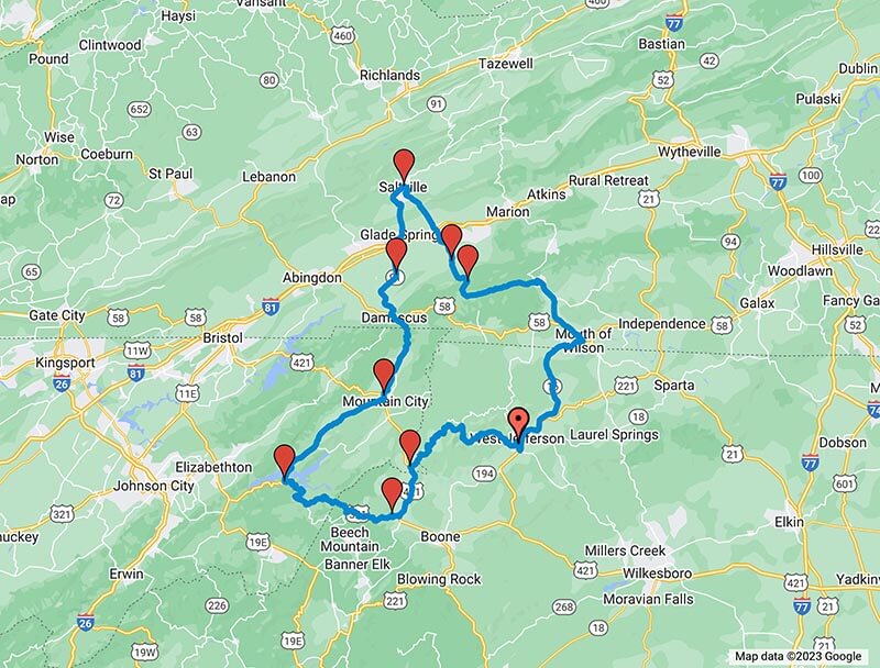
This is a good loop of a moderate 175-mile length. The first half of the loop is just for the pure enjoyment of riding with excellent scenery amid lots of sweepers with long lines of sight. That being said, be aware that VA 603 (Laurel Valley Road) runs through the middle of the Jefferson National Forest and there are several horse campgrounds there. There is excellent sight distance along most of the road but be aware of the truck pulling the horse trailer that may be traveling below the speed limit. VA 762 is the road that will take you across Skull Gap. The Gap is at the top and there's a pull off at the top of the mountain with an excellent view. VA 91 will take you from Saltville, VA south towards Mountain City, TN. This is a good road with good curves and light traffic. In Mountain City, TN, you will take Hwy 67 which is an excellent road leading to Watauga Lake. Enjoy the view from of the lake as you cross the bridge. You'll turn right on US 321 which is pretty technical but there are many views of the lake as you ride. There will be some moderate traffic depending on the time and day of week. Please be aware of people towing boats and campers. After you cross back into NC, US 321 will give you lots of opportunities to lean left and right. US 421 to Trade TN is scenic with light traffic. When you get to Trade and right onto TN 67, it gets a little more challenging. This turns into NC 88, which has a constant series of curves the entire distance back to West Jefferson, NC.
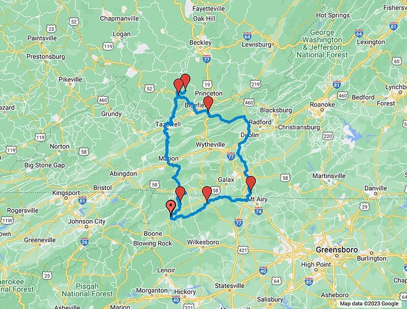
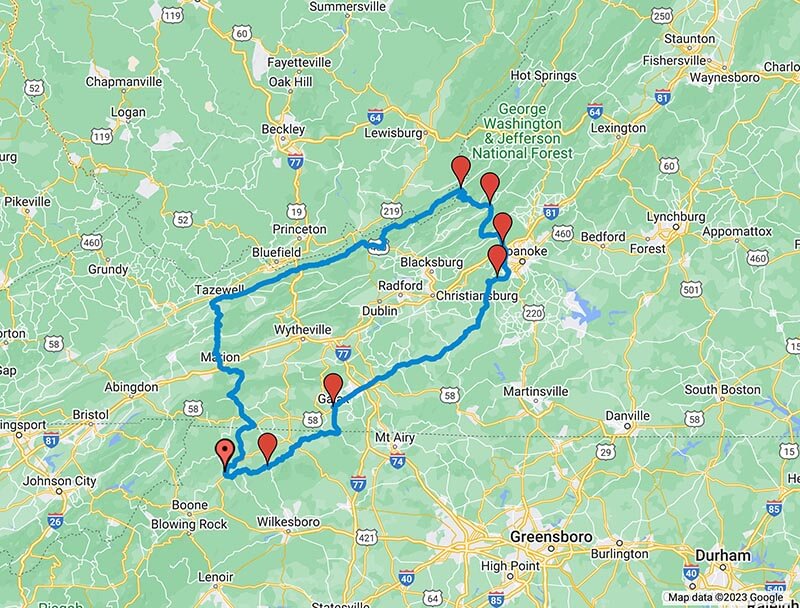
Bring a lunch! Or better yet, bring your appetite. The center of this loop is the Paint Bank General Store and Restaurant in Paint Bank, VA. They serve an excellent buffalo burger which is worth the trip. There is also a gas station next door. Part of this route is VA 16 from Marion, VA to Tazewell, VA, commonly known as "The Back of the Dragon." After the Dragon, the route will take you through a national forest with some pristine creeks before reaching Paint Bank. Don't panic when you see the very small “Welcome to West Virginia” sign. You'll actually cross the state line twice before you reach your destination. VA 311 is a challenging road over the mountain as you head south but is turns into sweeping curves going into Salem VA. US 221 from Cave Spring is a pleasant ride back and meets US 58, taking you back to Galax, VA. There are plenty of opportunities for fuel and food along this stretch of road. You'll cross back into NC on NC 89. From there it's NC 18 to NC 88 and east back to West Jefferson. I would suggest you start this ride early. It's 328 miles and will take you all day.